Global maritime domain awareness and vessel analysis
ReleasesLearn about our latest improvements
Arming research analysts with hidden clues to their maritime domain
Global maritime domain awareness and vessel analysis
ReleasesLearn about our latest improvements
Arming research analysts with hidden clues to their maritime domain
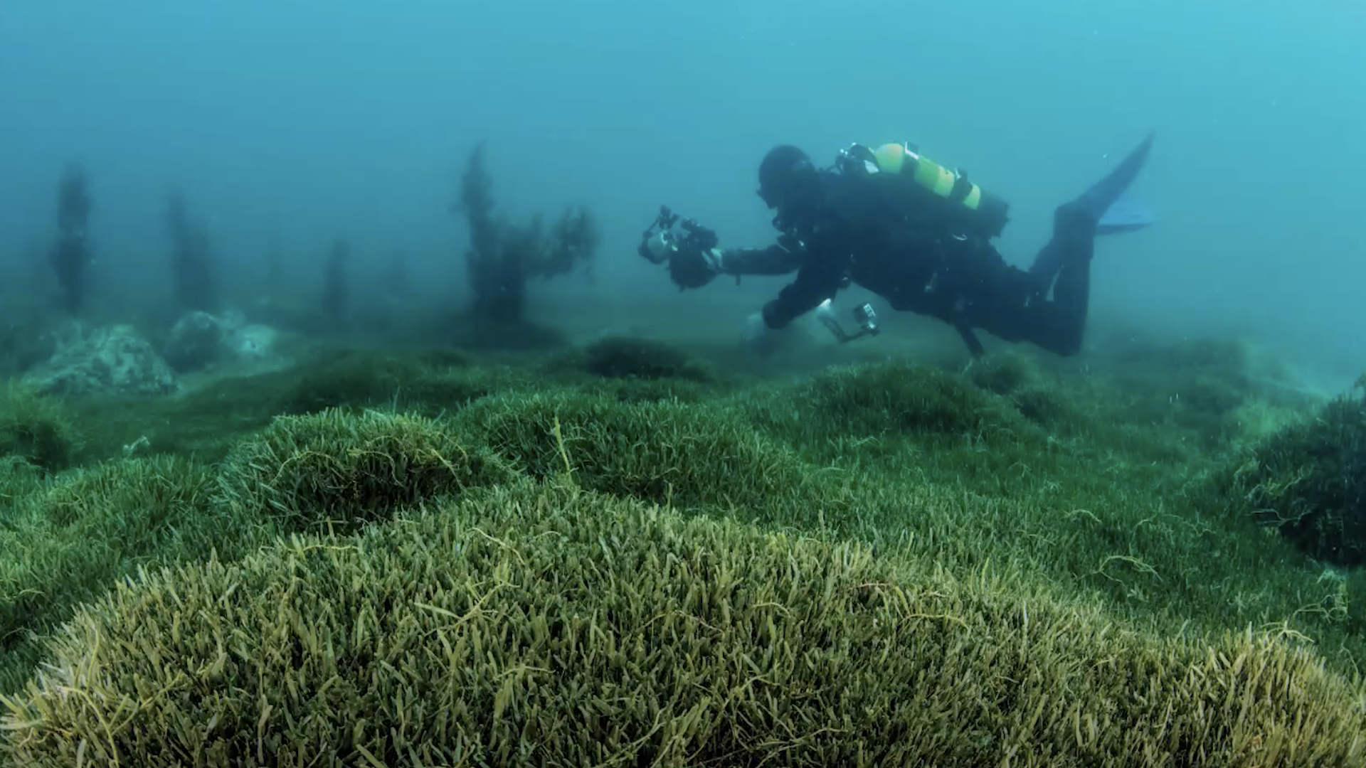
Caulerpa seaweed in Aotea Great Barrier Island
Case Study · 25 September 2023 · 6 minute read
Starboard supports research to help the fight against an invasive seaweed infestation in New Zealand
An exotic invasive seaweed was discovered in early 2021 in shallow waters of Aotea Great Barrier Island (GBI), an iconic island about 85 km east of Auckland, rich in marine and terrestrial biodiversity, and a treasured place for Māori. The seaweed belongs to the genus Caulerpa, and invasions in other parts of the world have spread extremely rapidly, formed dense mats, and outcompeted native species. One species, Caulerpa taxifolia, produces toxic compounds and has had significant ecosystem and human impacts in the Mediterranean.
The species found at GBI were identified as the non-indigenous Caulerpa brachypus and C. parvifolia. Since their potential impact on our aquatic ecosystems were unknown, a biosecurity response was initiated. Both species were given the status of Unwanted Organisms under New Zealand’s Biosecurity Act in September 2021, and legal controls came into force aimed at minimising the potential future spread of the seaweed. It was made illegal to fish, dive, or anchor a vessel in affected areas as even small fragments of Caulerpa stuck to anchors, fishing gear, and trailers can potentially spread the infestation to other areas.
Underwater surveys indicated that Caulerpa must have been in place at GBI for some time before it was noticed. This was of great concern, as frequent recreational boat traffic could have already spread Caulerpa to other parts of the country. Increased vigilance and surveys were needed, but the task of detecting and managing potential Caulerpa hotspots suddenly increased to hundreds of coves, anchorages, and marinas around New Zealand linked by a network of vessel traffic with direct and indirect routes to GBI.
The Ministry for Primary Industry has recently released a video encouraging the public to report sightings of the exotic Caulerpa in the North Island following identification of hotspots.
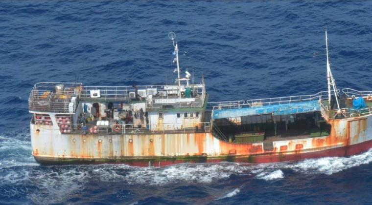
Starboard teamed up with researchers at the Cawthron Institute, Deakin University, and the Australian Institute of Marine Science in Australia to develop a ‘maximum reachability model’. Cal Faubel, a student working in the Marine Biosecurity Toolbox research programme, created a vessel network using high-resolution AIS data for all vessels that came within 2 km of GBI over a period of twelve months provided by Starboard.
Cal created the network model from all trips of the 454 unique vessels in the dataset (links in the network) potentially linking GBI to all downstream destinations (nodes in the network). The majority (89%) were recreational vessels, but also cargo, passenger, tourism, fishing, military, and search and rescue vessels had visited GBI during the 1-year period. The vessels had reached a total of 273 domestic locations that ranged from near Cape Reinga in the north to Stewart Island in the south, and also included some of New Zealand’s sub-Antarctic islands (Figure).
The Northland region showed the greatest number of trips between the mainland and GBI. Northland Regional Council therefore commissioned a follow-up study, also utilising these data, to further refine the model into a ‘downstream’ network to identify and quantify potential anchorage events. This model indicated a total of 90 potential high-risk anchorage events in 18 Northland locations (insert in the Figure). In these cases, boats had visited GBI within the last 10 days, the period of time Caulerpa fragments are still viable. Ten of 18 sites hosted 92% of the total Northland-wide anchorage events, allowing an efficient allocation of survey resources.

Potential anchoring events along the Northland coast of vessels that had departed locations around Great Barrier Island with known populations of exotic Caulerpa (blue circles) within the 10 previous days. Coastal locations where potential anchoring events occurred (red circles) are sized according to their relative risk. Orange arcs represent observed vessel movements between locations and linewidth is scaled to the number of vessels. Directionality of the vessels is implied by the bend of the arc, following a clockwise direction. From Floerl et al (2023).
This work shows that the comprehensive maritime vessel data coupled with key biological factors produce an adaptive tool to guide targeted and cost-effective management of marine invasive species risk. With this work, Starboard has directly supported novel research with concrete outputs for marine biosecurity management in New Zealand.
During the development of this work Caulerpa was detected at other sites. At the time of writing of this story, hotspots exist at Ahuahu Great Mercury Island, some coves in the Bay of Islands (Northland), and at a site in the Auckland region. See the MPI website for up-to-date information.
Get a demo
Anomalous movements is in beta testing and will be released soon. Get a demo to learn more about Starboard.
References
Floerl O, Hilliam K, Faubel C, Stevenson S, Treml E. 2023. Prioritising surveillance sites for exotic Caulerpa in Northland. Nelson: Cawthron Institute. Cawthron Report 3952. Prepared for Northland Regional Council.
NIWA: Marine invader Caulerpa triggers biosecurity response
NOAA: Caulerpa Species on the West Coast
Faubel, C L (2021) Using network analysis to quantify the spread of non-indigenous species through New Zealand’s maritime vessel network. BSc Honours Thesis, School of Life and Environmental Sciences, Deakin University.
Read more
NEWS
Satellites used to search for illegal fishing in Tuvalu’s waters. Nearly 60 satellite scans of Tuvalu’s exclusive economic zone (EEZ) have been obtained since December 2021 as part of a pilot project under the World Bank-funded Pacific Islands Regional Oceanscape Program (PROP).
Read media release →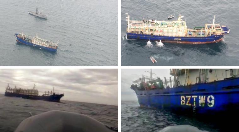
CUSTOMER CASE STUDY
Sabina Goldaracena is a custodian of the South West Atlantic maritime domain. She connects the clues in her investigations, uncovers hidden activity and works towards transparency by sharing her stories.
Read case study →
CASE STUDY
Using AIS vessel data to develop real-time risk assessments for efficient and safe vessel inspections
Read case study →
