Global maritime domain awareness and vessel analysis
ReleasesLearn about our latest improvements
Arming research analysts with hidden clues to their maritime domain
Global maritime domain awareness and vessel analysis
ReleasesLearn about our latest improvements
Arming research analysts with hidden clues to their maritime domain
Starboard and Snap Group
News · ALEXANDRA, NELSON (New Zealand) · 27 September 2022
New Zealand companies working together to deliver on the promising future of fishing sensors
Starboard® Maritime Intelligence and Snap GroupTM are preparing for a global roadshow of their vessel monitoring technology. The New Zealand owned companies are bringing together their hardware, communication and software solutions which enable effective and efficient fisheries management by harnessing new sensor technologies.
“The partnership between the two companies makes perfect sense, not only do our technologies align perfectly to create a world leading fisheries monitoring tool, but our total ethos and why we do what we do are also very similar. For two New Zealand companies to be able to do this life changing work together is amazing,” says Chris Rodley, CEO and Founder Snap Group.
The expansion into vessel monitoring systems (VMS) is a natural progression that can support Starboard’s existing customers. The company’s automatic identification systems (AIS) based platform is currently used across New Zealand, Australia and the Pacific by government agencies and regional fisheries management organisations.
“The Starboard platform is an emerging technology leader in this market and we have proven our ability to turn vessel position data into insightful and effective tools for those managing fisheries,” says Trent Fulcher, CEO Starboard Maritime Intelligence.
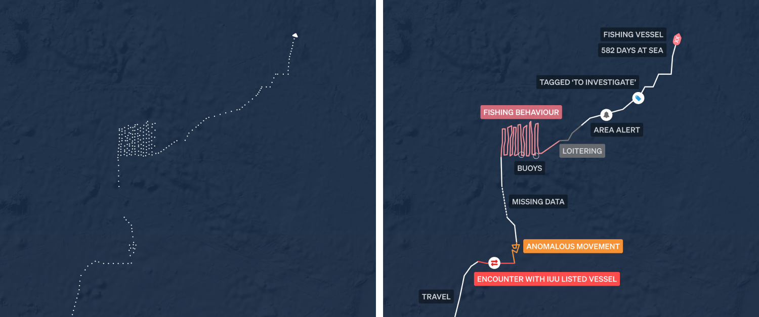
Starboard Maritime Intelligence does more with vessel position data. Taking this disconnected information and turning it into valuable behavioural insight with tools for efficient fleet management.
Snap Group has been innovating in the vessel monitoring and sensor technology market since 2007. “We are making vessel monitoring while at sea more accessible with cost-effective solutions such as solar powered monitoring units. We are now focused on the future possibilities that cameras and edge computing will bring to the sustainable management of fisheries,” says Ali Kennard, PinPoint Earth Lead.
“With the new systems we are developing, we will be able to use our technology not only to track vessels and record what is happening, but using AI to identify red flags and send notifications instantly to those who need to know,” says Kennard.
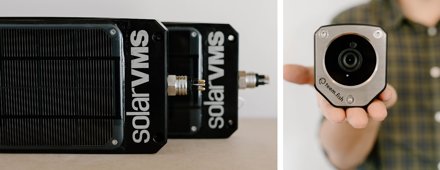
The powerful combination of the SolarVMS, Solar powered tracking and 2 way Satellite communication hardware and the Teem Fish Camera for fisheries monitoring, AI, review and management, allowing for full insight into vessel activities.
The technology companies are looking for pilot partners to implement their existing vessel monitoring solutions and enable them to prototype new technologies in a real-world setting.
“This partnership allows us to offer a cost-effective yet transformative alternative to traditional vessel monitoring systems. We want to be there for our customers as they continue to expand into the future of fisheries technology,” says Fulcher.
The roadshow kicks off with the pair exhibiting and presenting at INFOFISH World Tuna Trade Exhibition and Conference being held 11-13 October in Bangkok.
Get a demo
Get a demo to learn more about Starboard and Snap Group vessel monitoring systems.
More about Starboard Maritime Intelligence
Starboard vessel monitoring helps flag, coastal and port states alongside regional fisheries management organisations and industry groups to tackle the complex challenges of building capacity and transforming their operational tools.
Xerra and Starboard have been established with funding from the Ministry of Business, Innovation and Employment (MBIE). Learn more about Starboard.
More about Snap Group
Snap Group builds and grows innovative and transformative local and international companies in the heart of Nelson, NZ. They cover research and development, manufacturing, technology hardware and software solutions for fisheries, meat, food and other industries. Snap Group is a parent company to Snap Information Technologies (SnapIT), PinPoint Earth Project and Teem Fish Monitoring. Learn more about Snap Group.
Read more
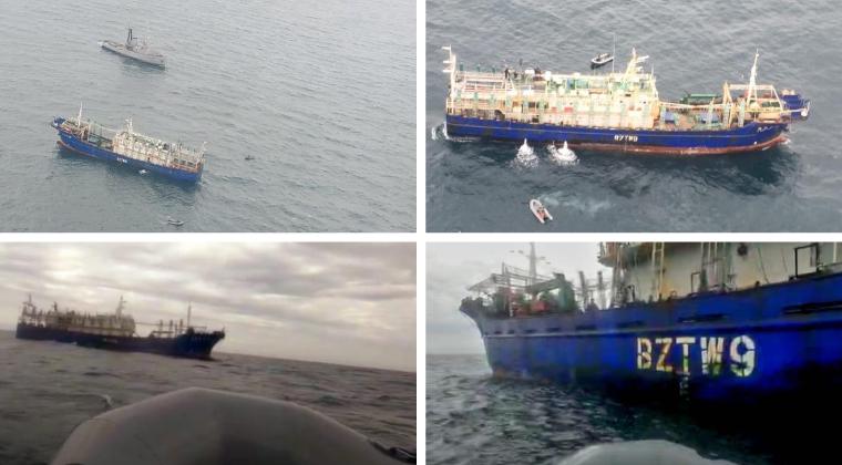
CUSTOMER CASE STUDY
Sabina Goldaracena is a custodian of the South West Atlantic maritime domain. She connects the clues in her investigations, uncovers hidden activity and works towards transparency by sharing her stories.
Read case study →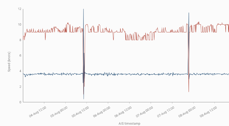
CASE STUDY
Amongst the millions of ship positions, how can we find movements that are not normal? How can we find anomalous movements leading to the discovery of vessels that might be noteworthy and need further investigation?
Read case study →
NEWS
Satellites used to search for illegal fishing in Tuvalu’s waters. Nearly 60 satellite scans of Tuvalu’s exclusive economic zone (EEZ) have been obtained since December 2021 as part of a pilot project under the World Bank-funded Pacific Islands Regional Oceanscape Program (PROP).
Read media release →